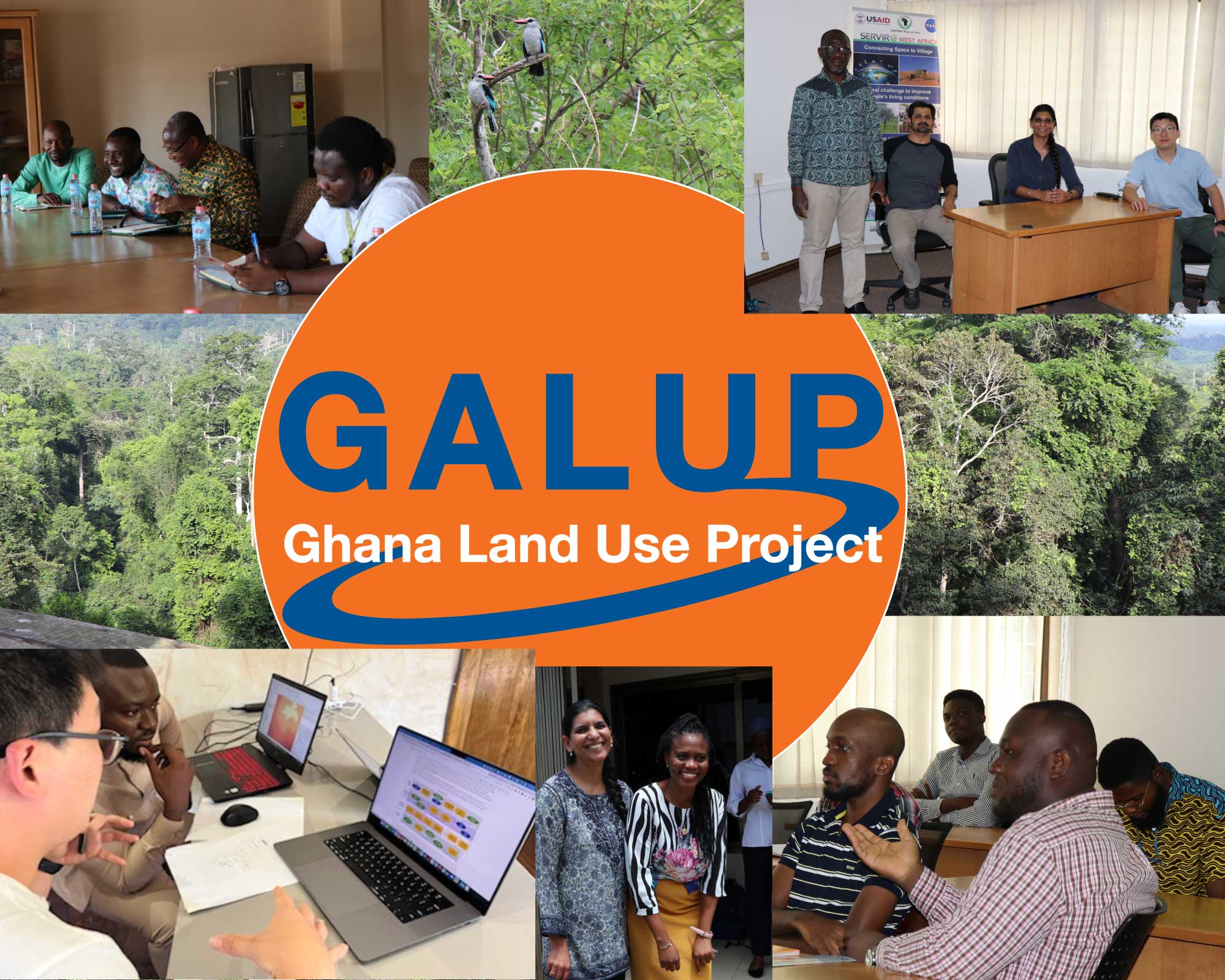
The goal of the Ghana Land Use Project (GALUP) is to provide an effective planning framework to land managers in Ghana. The framework will integrate remote sensing and Geographic Information Systems (GIS) to model the linkages between deforestation, urbanization and agricultural expansion in the country. The project will also identify potential conflicts between different land uses, such as agriculture, mining or conservation, and predict land-use change scenarios.