In Ghana, farmlands and cities are expanding rapidly into the savannas, woodlands and forests. The Ghana Land Use Project (GALUP) project will enhance the current operational planning framework and building capacity for effective land use planning in Ghana. Working in close collaboration with national and regional authorities in Ashanti, Eastern and Central Regions in Ghana, the project aims to build local capacity in the region regarding remote sensing and GIS, and transfer the land use planning framework for continued planning.
The GALUP project has been awarded by SERVIR, a joint venture between NASA and the U.S. Agency for International Development to help developing countries use Earth-observing satellites and geospatial technologies for managing climate risks and land use. It is led by Professor Jasmeet Judge in the Agricultural and Biological Engineering (ABE) Department at the University of Florida (UF), in collaboration with researchers from UF, the Centre for Remote Sensing and Geographic Information Services (CERSGIS) in Ghana, and the University of Ghana. Follow us on Twitter.
One of GALUP’s objectives is to help build local capacity in applying tools empowered by Remote Sensing (RS) and Geographic Information System (GIS) technologies to inform and ensure sustainable land use practices.
Our project includes workshops aiming at helping trainees to familiarize themselves with the use of LUCIS-OPEN, a GIS-based, open-source land use planning framework.
These training sessions are intended for staff at the Land Use and Spatial Planning Authority (LUSPA) of Ghana. LUSPA develops land use policies and planning frameworks at national, regional, and local levels. In due course, capacity-building exercises will be conducted in collaboration between the University of Florida, the Centre for Remote Sensing and Geographic Information Services CERSGIS, LUSPA, and the representative District Assemblies (DAs) in the Twifo Lower Denkyira District (TLDD) and in the Asante Akim Central Municipal District (AACMD).
Rosette Agyekum – Agartha Addo – Theophilus Anum Adjei – Abigail Amankwah – Elvis Mensah – Abena Apeaa Adu – Emmanuel Tetteh-Wayo Nii – Huziemata Yakubu – Patrick Apraku – Barbara Adomaa Kumi – Foster Mensah, Cersgis – Beatrice Owusu-Appiah – Jasmeet Judge, UF – Prosper Kwarme – Chapman Owusu-Sekyere, LUSPA – Joseph Dennis Quarcoo – Enoch Anchebah – Changjie Chen, UF – Celestina Deku – Ama Boadu
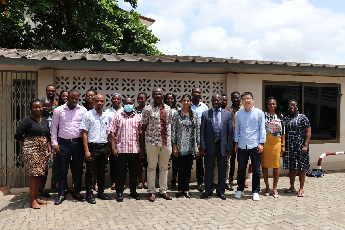
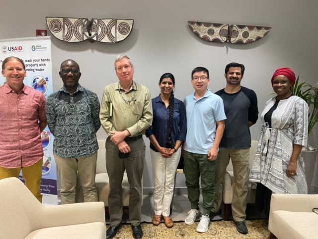
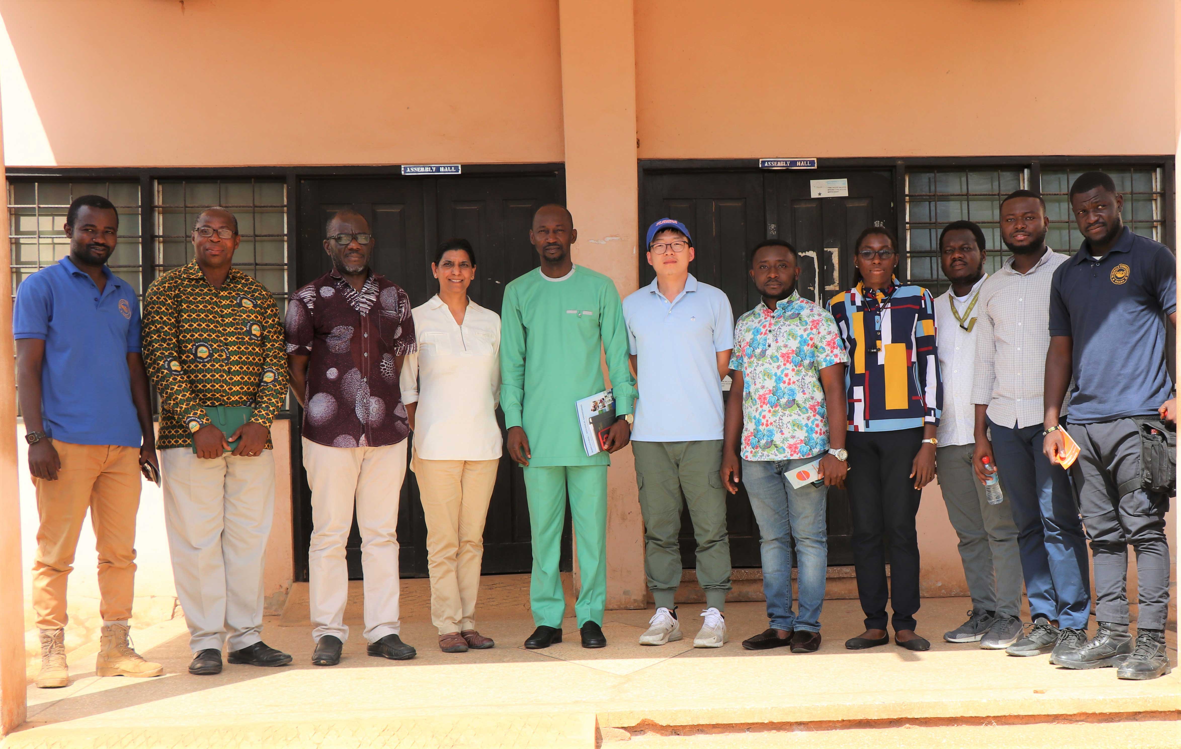
Featured on the photo from left to right:
Mawuli Doe – Dominic Abakah – Sagito Musah Issaka – Oware Ampomah – Frank Matey Korli – Dr. Aditya Singh, UF – Dr. Jasmeet Judge, UF – Prince Gyabeng – Dr. Changjie Chen, UF – Napoleon Owusu Asante – Elsie Nai –Silas Achidago, LUSPA
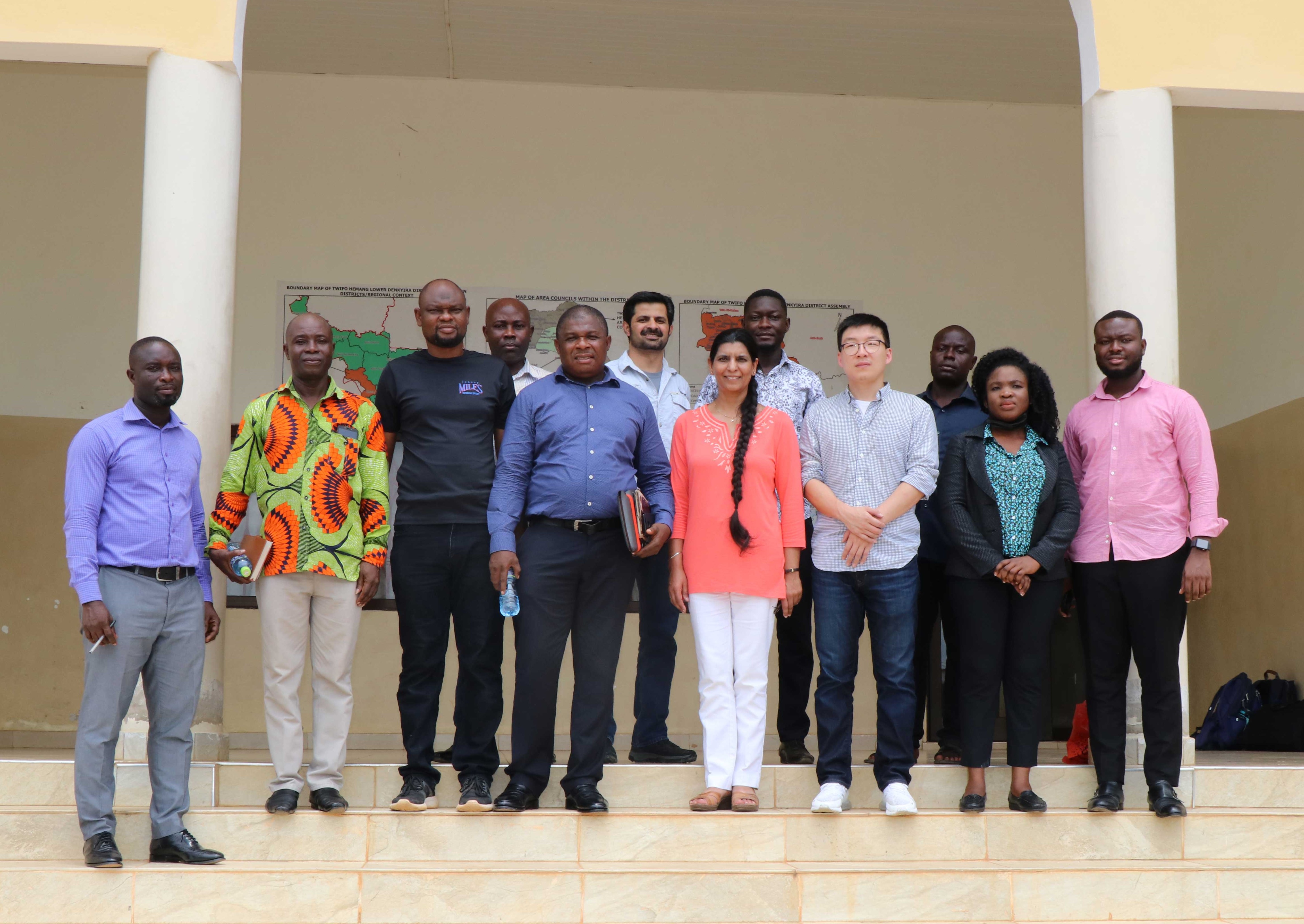
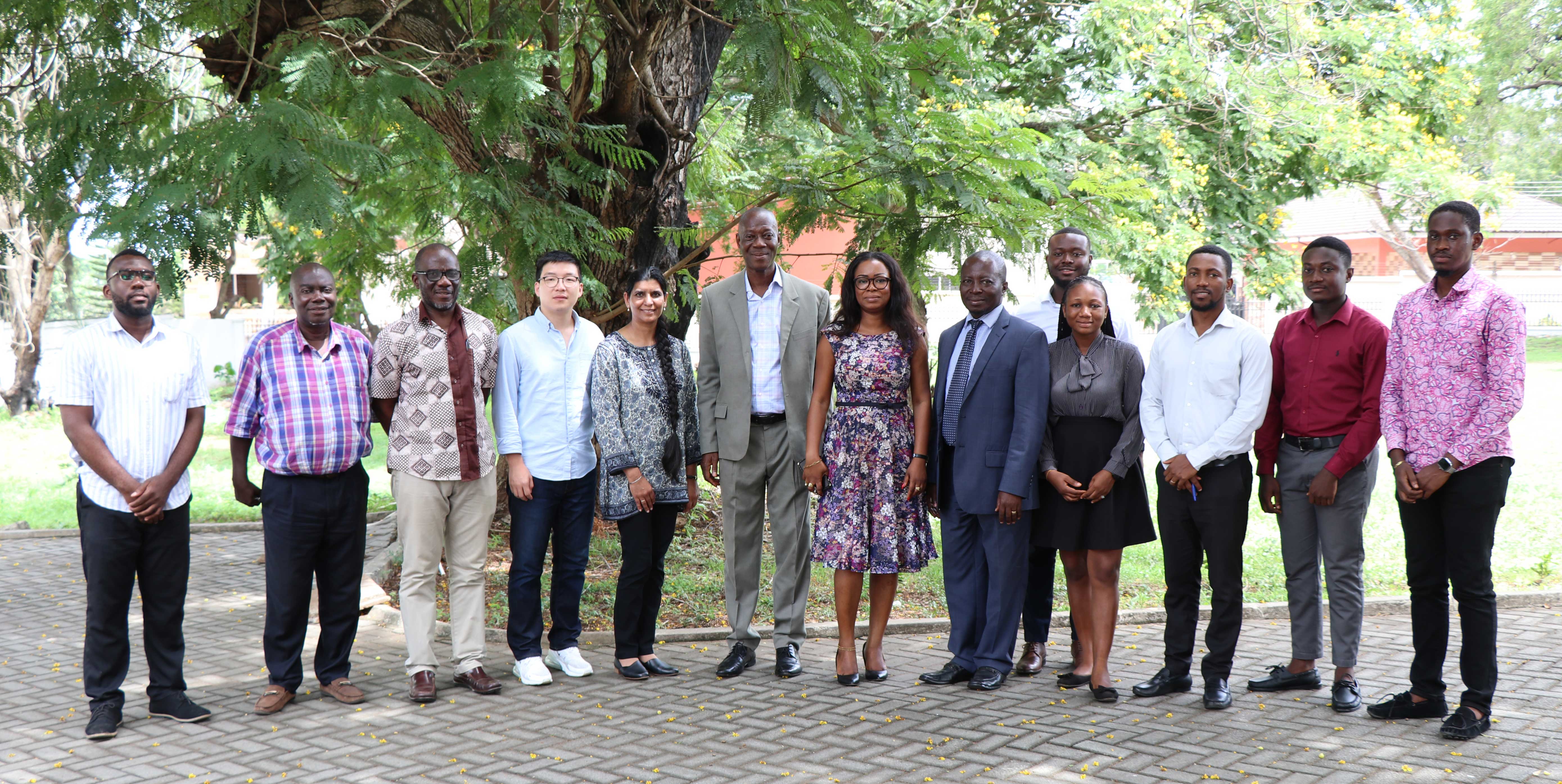
Featured on the photo, from left to right:
Prince Darkwah, Minerals Commission – Edem Kokou Mawu, EPA – Foster Mensah, Cersgis – Jasmeet Judge, UF – Robert Yaw Kwakye, Chief Executive AAC – Changjie Chen, UF – Gideon Tetteh, Physical planner AAC – Adwoa Obeng, Development planner – Enoch Asem, Minerals Commission – Silas Achidago, LUSPA – Dennis Frimpong, Minerals Commission
In August 2021, thirty-six participants from LUSPA, CERSGIS, Agrhymet and ICRISAT completed our 2nd online training on the Land Use Suitability Analysis with QGIS Tools.
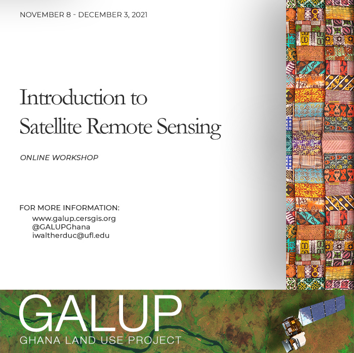
In December 2021, forty participants from LUSPA, CERSGIS, Agrhymet and ICRISAT completed our 2nd online training on the Introduction to Satellite Remote Sensing.
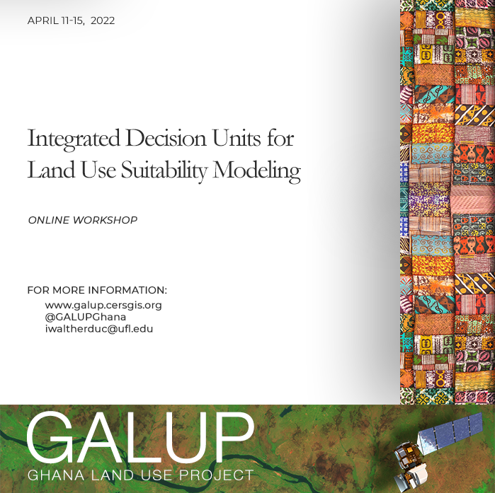
In June 2022, seventeen participants from LUSPA, CERSGIS, Agrhymet and ICRISAT completed our 3rd online training on the Integrated Decision Units for land use suitability modeling.
Featured from left to right:
Featured from left to right:
Chris Schaan - Foster Mensah - Matthew Anderson - Jasmeet Judge - Changjie Chen - Aditya Singh - Halima Ouattara-Ayanou